Cave to Cableway: A Journey of Unexpected Surprises
- Nov 25, 2024
- 3 min read
Updated: May 1
Another Centurion Hiking Club Hike
Let’s just say that for this hike, I assumed I was hiking the Hennops Trail
Why?
Because my brain saw “cave” and “cable-way” and apparently decided, “Close enough! Hennops, here we come.”
The actual location of the hike?
Pfft, a mere detail - something for people with time to read the fine print.
So, 24 hours before departure, the WhatsApp group chat blows up with last-minute logistics.
That’s when I noticed two small but meaningful details I had previously ignored.
“DIFFICULT”
“Hartbeespoort”
Ah. Not Hennops.
Not even close.
Also, not my first time making this exact mistake with this exact hike leader.
At this point, I’m expecting a formal expulsion letter.
I sent a quick message: “Be honest - will I survive this?”
She reassured me.
Bold of her, given she’s hiked with me exactly once.
Weather Panic, Because Obviously
Rain was threatening, which added a fun layer of anxiety.
We spent a solid chunk of time refreshing the weather app like we were coordinating a space launch.
Eventually, the guide (Esti from Saunterers) gave the green light, and off we went.
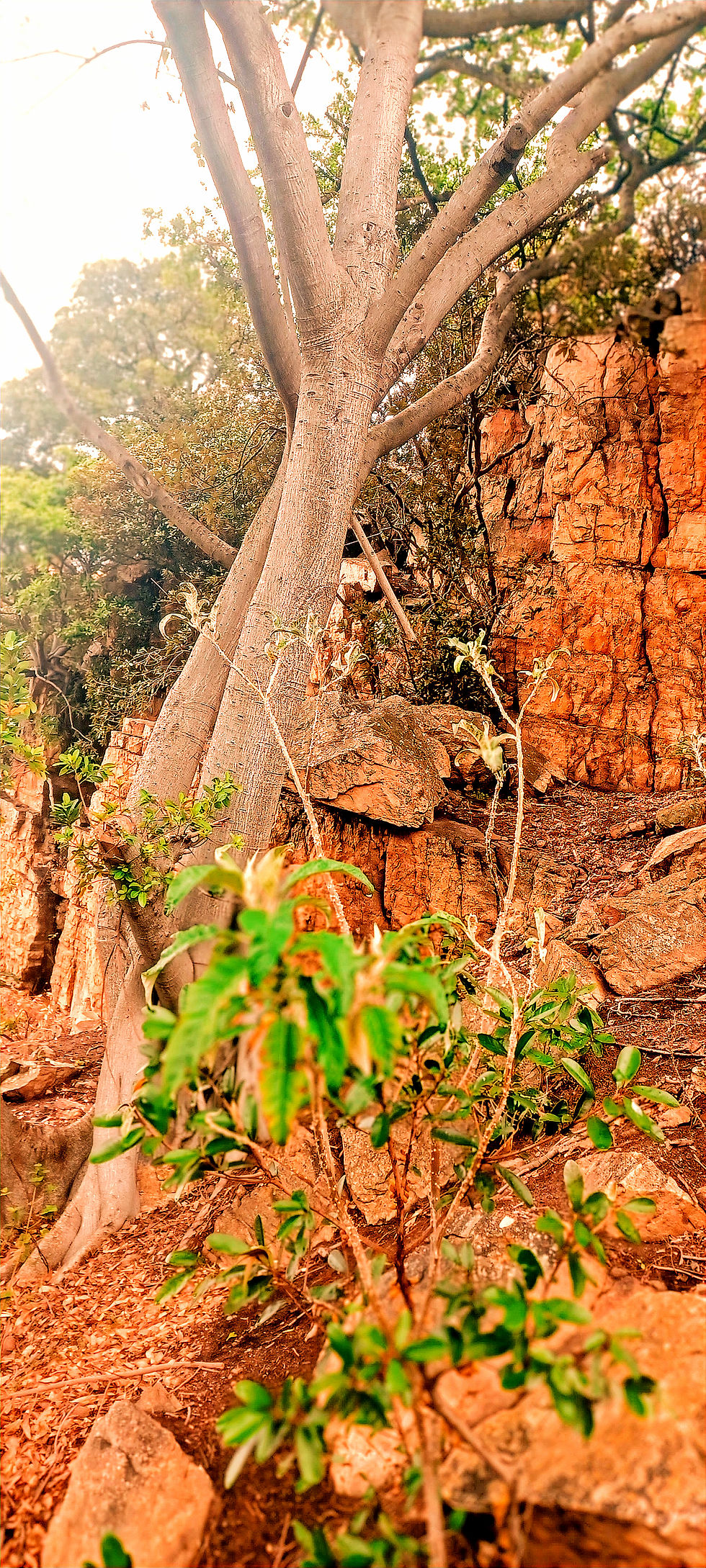
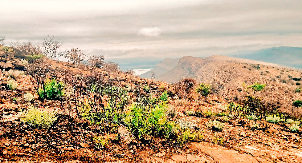
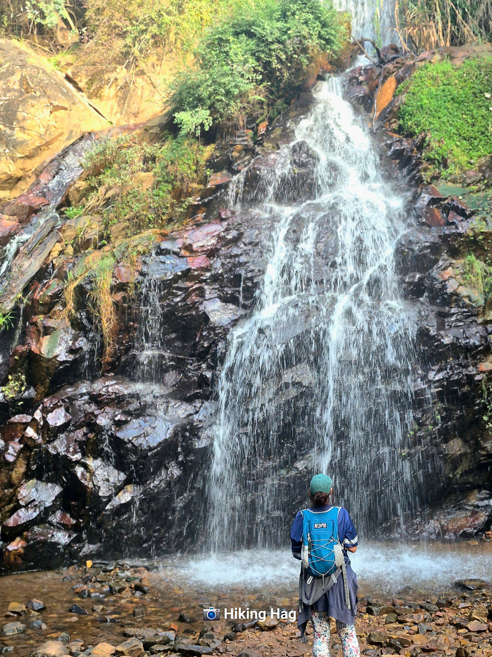
The Trail
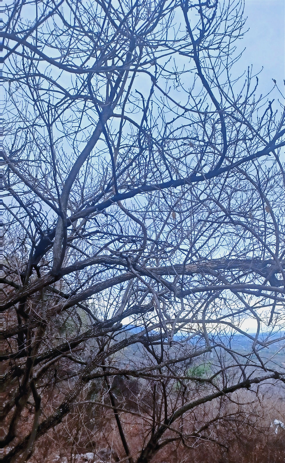
As you start, this hike climbs.
A lot.
The cool weather helped, but it was tough.
Highlights of my personal performance include two graceful butt-slides (thanks, loose gravel), and one near-spiritual experience watching my phone tumble down a mountain
I saw it tumble away in slow-motion, as my soul briefly left my body.
But then, in true action-hero fashion, our gazelle-like hike leader sprinted down and saved it.
I now owe her my eternal gratitude, right up until she removes me from the group.
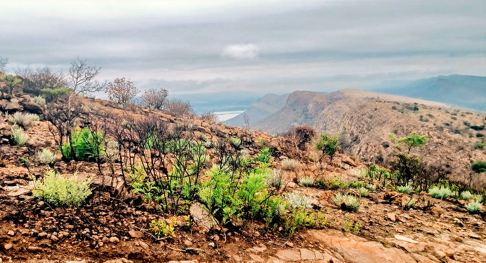
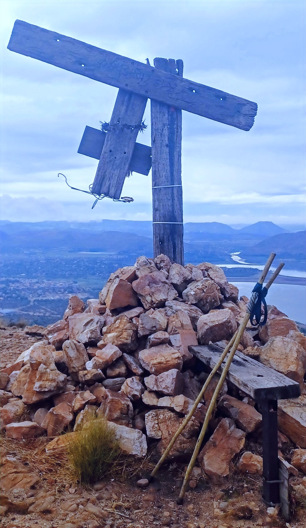
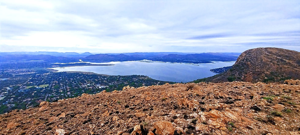
The Views
Gorgeous.
Like, take-your-breath-away gorgeous (though that could’ve been the lack of oxygen).
And total bonus...vultures...lots of them...but not yet close enough for me!!
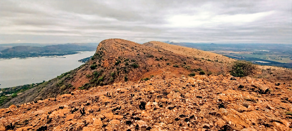
The Harties Cable Car area gives you the full visual buffet: Hartbeespoort Dam sprawling out like it owns the place and mountains flexing in the distance.
At the top, there’s a restaurant and bar where you can sit, have a snack, maybe a drink, and revel in your own survival.
Unfortunately, they had no water.....but that was not their fault.
Anyway, the bean bags and spectacular views were there, so we snacked and relaxed.
Would I recommend this hike?
Absolutely, but bring balance, stamina, and a sense of humour.
This is not a casual stroll. It’s for people who enjoy a challenge.
Also, people who don’t mind sliding down parts of it unintentionally and those who can keep hold of their phones.
RATING
LOCATION: Hartbeespoort
COST
Depends on guide
DIFFICULTY
If I survived.....sort of, so can you..…maybe.
LENGTH
6–10 km (the distance is up for debate, but your legs will insist it’s longer)
TIME
4 hours, plus an hour at the top for reveling in your accomplishment
ELEVATION
Steep enough to make you reconsider your life choices
MARKERS:
Few and far between—thank goodness for the guide. No way I could have done it without a guide.
AMENITIES
At the top restaurant at the summit.
HIGHLIGHTS
There’s something about hikes like this.
Maybe it’s the views.
Maybe it’s the shared suffering.
Maybe it’s the bonding that happens when everyone’s slightly miserable but committed.
Whatever it is, you finish feeling oddly accomplished - and just delusional enough to sign up for the next one.
I’ll just double-check the location next time.
Probably.


Comments