Jumanji Trailblazing (Literally): Navigating Nature’s Obstacle Course
- Jan 31, 2025
- 4 min read
Updated: May 20

So on this day, we tackled the Jumanji trail.
I saw the name and thought - perfect, let’s do this.
I’d first spotted the trail on Facebook a few weeks prior during its launch.
Unfortunately, the launch was midweek, and as much as I’d love to, I’m not yet paid to hike full-time (manifesting it, though).
So, I mentally bookmarked it and moved on with life.

The gentleman I called about it casually mentioned that the trail wasn’t marked but could be guided if needed.
Translation: “Prepare for chaos.”
Naturally, I forgot about it for an impressive two minutes before it resurfaced in my brain as the perfect dose of weekend self-sabotage.

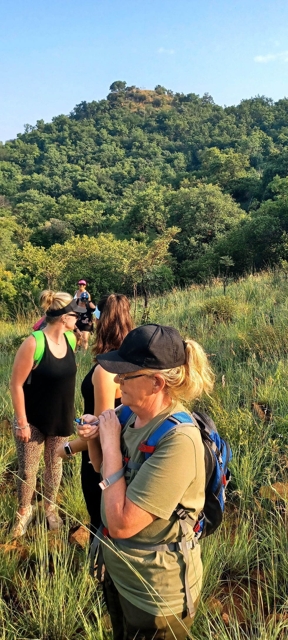
Now, one of my TrailTribe Discord members - Carol from Go Hiking SA, an actual hike leader (little did I realise until later...yay for credentials) - wanted to meet.
And instead of a cliché coffee "meeting" or, worse, a golf "meeting" (seriously, men, we see you), I thought, "We’re hikers, for crying out loud. Let’s meet like hikers - on a trail."

Cinnamon, ever the loyal sidekick, signed up with two family members in tow, after I had warned her that I had no clue what we’re walking into.
Off we went. This wasn’t so much a trail as it was bushwhacking.
They were not joking about it being unmarked?

Not only were there no markers, but there was no actual trail.
It felt like nature wasn’t entirely thrilled about letting us pass.
Thorns, overgrowth, loose rocks, and a whole lot of 'Are we really sure this is the way?' energy.
Most of us slipped at least once, but hey - no serious injuries, so we’ll call it a win.
Naturally, I felt a twinge of guilt for dragging Cinnamon onto this trail, but, true to form, she was an absolute trooper.
Luckily, we have the same mindset. Together, we are the queens of “slow and steady” with plenty of excuses to stop and “admire the view” (a.k.a. gasp for air).
It threw an incline at us that could break souls.
But we paced it, made it, and managed to enjoy the scenery...dammit.
What started as a casual meet-up quickly escalated into Carol being voluntold as our unofficial guide.
Three other ladies who were there to hike, stuck with us from the start, and within minutes, we all collectively decided Carol looked the most competent (or at least less clueless than the rest of us).
The day was pure chaos - a crew of strangers thrown together by a trail.
We somehow morphed into an unofficial hiking gang, bonded by shared determination and Carol’s accidental (but stellar) leadership.
And what did we end up with? A badass hiking squad that had each other’s backs - every single time.
Honestly, I love me some hikers - they’re my kind of people - slightly lost, slightly crazy, but always ready for adventure.
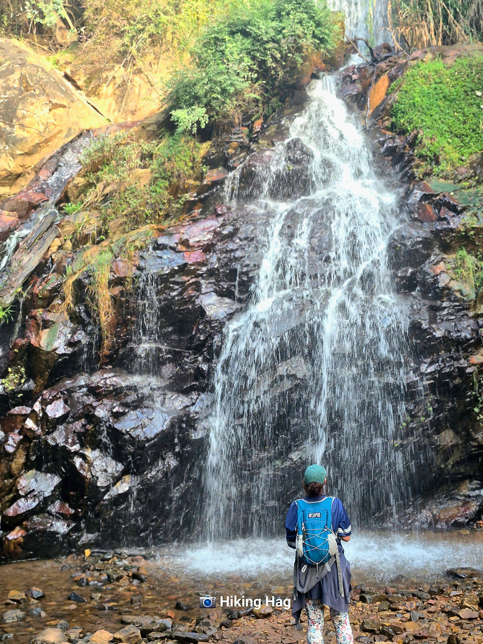
Once we summited - to absolutely unbelievable views - we ran into a bit of an issue with barbed wire.
But we reported it to management, and hopefully they have sorted it out.

As always, on the inclines, I cursed everything - Carol, my lungs, the trail - and promised that I would never hike again (again).
But on the declines? Pure bliss - even as I executed three or four graceful (read: embarrassing) sliding face plants....or ass plants really - nothing could ruin my joy.

When we finally stumbled back, the friendly and helpful staff who had greeted us on arrival were waiting with smiles, questions about the trail and the trail map - which, honestly, felt obsolete given the glaring absence of an actual trail - but no matter.

Turns out, we were the first group to actually complete the trail.
That’s right: we were the LITERAL trailblazers.
Okay, fine—Carol blazed it, but we bravely followed her footsteps through the wilderness.
AREA - Broederstroom
COST - R 50
DIFFICULTY - Tough, technical in parts and needs an experienced hiker or guide until it is marked.
LENGTH - 3 km......please don't be misled.
TIME - 2 hours. Although, based on how it felt, I’m convinced our phones were lying

ELEVATION - No official info, but trust me, it’s pretty steep.
MARKERS - None, but I believe they intend putting markers.

HIGHLIGHTS
On the way up? Nada. Zilch - just pain.
On the way down? Everything.
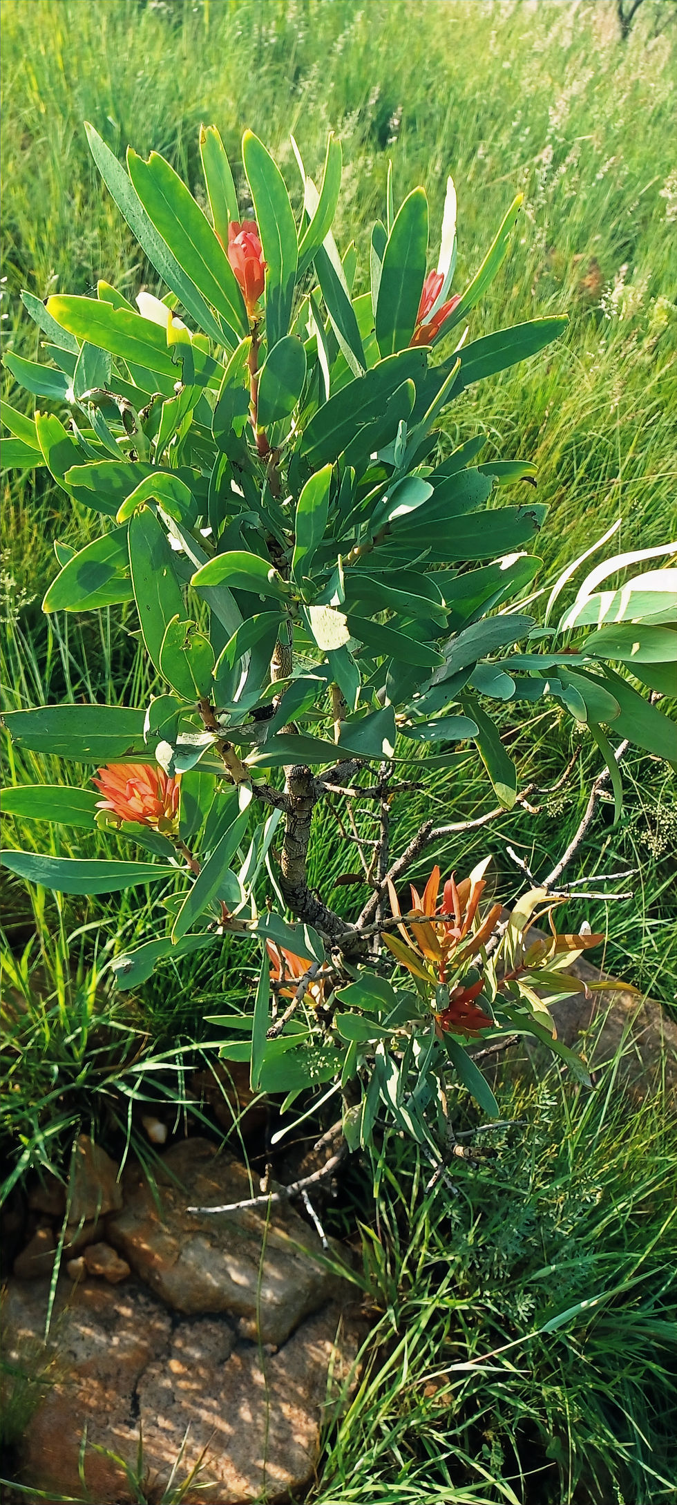
Seriously, though, the views were breathtaking - once I stopped gasping for air - and the bushwhacking was weirdly fun.
ABLUTIONS - Yes

SAFE FREE PARKING
AMENITIES
There is a swimming pool toilets and braai area available for use post-hike, and a few chalets scattered around.
So, that might be the Resort.

ON A FINAL NOTE
If you’re after tough and challenging, this trail is worth a go.
I wouldn’t classify it as hugely technical - at least, not the route we took.
However, our trusty guide led us back on what seemed like the safest path.
When chatting with the staff afterward, we learned that the actual way down involved descending a cliff.
Yep - the very cliff we took one look at and collectively decided - nope.
Just fine tuning some teething issues, and this will be an awesome trail!!
So, if you’re following the proper route, expect it to be a bit more technical.
All in all, an awesome adventure, and felt really chuffed with myself afterwards.


Comments