Reunion: New Dog-Friendly Hiking Trail in Gauteng
- Jun 11
- 3 min read

Discovering a New Off-Lead Dog Trail
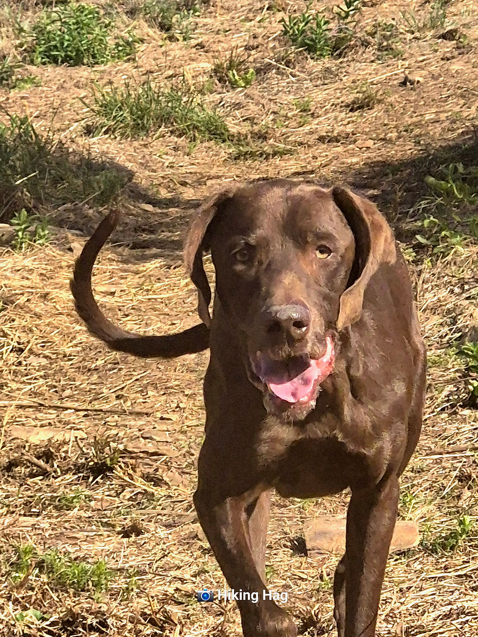
Basil - loyal companion to Boris and increasingly valuable hiking spice - recently stumbled across the name of a brand new dog-friendly off-lead trail.
Impressive considering she spent most of the day looking like Gandalf - after finding a staff-sized stick and carrying it around as though she had urgent wizard business elsewhere.
Naturally, I was shocked.
New trails don't just appear - at least not on MY social media feed.
After working through the profound personal betrayal of this trail appearing on Basil's feed instead of mine, excitement took over.
After chatting to the trail owner, Christo, Basil confirmed that the trail was still very much in its infancy, and we were going to be the first people to hike it.
Finally. A chance to call myself a trailblazer without any of the exhausting trail-blazing.
The Navigation Challenge
The adventure began with two separate location pins sent via WhatsApp.
Two - for one destination.
We did briefly discuss how strange it was, but decided there must be a perfectly reasonable explanation.
There wasn't.
What should have been a simple 45-minute drive slowly evolved into an exercise in patience, confusion and increasingly creative route choices.
After several phone calls, we eventually established that the location pins worked beautifully with Google Maps and absolutely not with Waze.

To Christo's credit, despite spending a good portion of his morning providing technical support to two grown women who couldn't locate a farm, he remained remarkably cheerful throughout.
First Impressions
On arrival, Christo greeted us warmly while preparing for a 4x4 event.
His trail briefing was beautifully simple -
"Walk. You can't get lost.
Walk as long as you like."
Bold words - particularly considering our reputation.
Surprisingly, he was almost entirely correct.
The trail hasn't yet been formally designed or marked, which means hikers can essentially create their own routes.
For adventurous people, this is freedom - for us, this is an opportunity to accidentally discover neighbouring provinces.
A Hidden Gem
What struck me most was the scenery.
It simply didn't look like the landscapes you typically encounter on that side of Gauteng.
The trails themselves were well-cleared and easy to follow, even where they crossed the 4x4 routes.

We covered around 5 km, with a few decent inclines that reminded us we were hiking but nobody needed rescuing.
The Gorges
The only thing I felt slightly short-changed by?
Apparently there are two gorges.
We saw neither.
Not one.
At this point, I am beginning to suspect that gorges actively avoid me - yes, Bekker's - havn't forgotten you.
Why We'll Be Back
After checking in with Christo when we returned, it didn't take much discussion for Boris, Basil and me to decide we'd be back.
Not only does the accommodation look fantastic, but we were also offered the opportunity to help test and mark future hiking routes.
And who better to contribute to that process than two women who managed to turn a journey to a single GPS pin into a navigation crisis?
If there's one thing we're qualified to comment on, it's where people are likely to get lost - mostly because we've personally tested most of the available options.
In fact, inviting us to help mark routes feels a bit like asking serial shoplifters to consult on retail security.
Still, if future hikers make it back to the parking area without accidentally crossing into another province, we'd like at least some of the credit.
We're basically trail-marking consultants now.
Unlicensed. Unqualified.
But technically consultants.
RATINGS
Trail Information
AREA
Schurveberg - not too far from Hennops.
COST
R 50
Trail Details
TRAIL DIFFICULTY
Fairly moderate but not flat.
TRAIL LENGTH
Currently flexible while routes are being developed
TRAIL MARKERS
Not yet - watch this space.
TRAIL HIGHLIGHTS
Beautiful scenery, peaceful atmosphere and the feeling that you've travelled much further than you actually have.
WEATHER CONDITIONS TO CONSIDER

Likely very hot in summer, although Christo assures us the returning foliage provides decent shade.
ABLUTIONS
SAFE FREE PARKING
AMENITIES
Camping with water and electricity, accommodation, a small swimming pool and 4x4 trails.
WILDLIFE & BIRD LIFE
We saw nothing.
However, there is allegedly a resident warthog - Molly, which nearly caused Basil to cancel because she was worried about Boris.
We never saw Molly - Basil was relieved - I experienced a small amount of FOMO.
You can't spend an entire hike anticipating a celebrity warthog appearance and then just leave empty-handed.

NOTE TO SELF
Find Molly the warthog before she becomes a mythical hiking creatures nobody has actually seen - sorry Basil.
FAMILY FRIENDLY
Yes
PET FRIENDLY
Totally -off lead.
ON A FINAL NOTE
What a treat - peaceful, different and pleasantly wild without actually being wild - that's only going to get better as the trail network develops.
(TO)SOLO OR (NO)SOLO
(TO)SOLO for the confident ones.


Comments