Thabametsi Trails With The King of Canines
- Dec 13, 2025
- 4 min read

Another Boris & Basil Adventure, hand-selected for Boris - who, as we all know by now, insists on off-lead trails like he’s some sort of canine sovereign.
So I finally sifted through my hiking trail list, and singled out every possible off-lead option.
Those have now been officially reserved for “B squared” (that’s Boris & Basil, for the uninitiated).

Calling Ahead: A Pleasant Experience
We’d phoned ahead to confirm the all-important off-lead status, and the host replied swiftly and warmly - so I was already a fan.
She warned us about the sand road, which apparently becomes even more problematic if it’s been raining. but promised to keep us updated.
Thankfully, the universe granted us a brief rain intermission, and off we went.

Zigzags, Sand, and … Ticks
Getting there required strategic zigzags around deep sandy patches - which at this point, is just an occupational hazard.
And speaking of occupational hazards… after all my hikes, bush-whacking, and elaborate sidestepping around nature’s nonsense, I finally got bitten by a tick.
Yes.
“The Curse” had arrived.
So now, for the next 10 days, I’ll be aggressively manifesting that I don’t get “the fever,” because really - how am I supposed to hike if I’m dying?

When I messaged this joyous update to Basil - who was also bitten, and on a previous hike because consistency is key - she asked me not to write an "angry" post because “it was a nice place.”
Basil, who is ridiculously funny and has me laughing at the most absurd things ... CONSTANTLY, was right.
It WAS a nice place.
But,on to what actually matters… quickly… before I start hallucinating wildlife that wasn't even there thanks to “the fever.”
Arrival

Our host - and her gorgeous Pekingese, Lollipop - greeted us the moment we arrived.
She explained how the trails worked: they sort of loop into one another, there’s a dam somewhere, a gate somewhere else, keep an eye out for porcupines, and overall… we’d be fine.
She then WhatsApped us a map which conveyed absolutely zero meaningful information, but assured us we couldn’t get lost.
Technically, she was right.
We didn’t get lost… completely.
Trail One: The Koppie of Heavy Breathing

We started the first trail and were immediately greeted by a steep incline up a koppie.
Not a mountain - just a humble koppie - but still...it was steep
We puffed.
We huffed.
Once past that rude introduction, the trail settled into a peaceful meander through nature - open, quiet, and genuinely calming.
Some sections were a little overgrown thanks to all the recent rain, but nothing dramatic.

Then came a gate.
Was it THE gate she mentioned?
No idea.
What we do know is that we somehow ended up on the neighbour’s farm - a gorgeous stretch of fields, mountains and crops.
That's when we first noticed the ticks.
Ticks were practically sprouting out of Basil’s pants.
Seasonal, not trail-related - but honestly still rude.
Backtracking & The Dam We Never Found
We eventually circled back to the start and casually mentioned that we hadn’t seen the dam.
Our host pointed us toward another direction - “very close,” she said.

She lied.
But so sweetly that we instantly forgave her.
This second trail was more foresty, less overgrown, and honestly… beautiful.
Definitely more of a proper trail than our earlier magical meander.
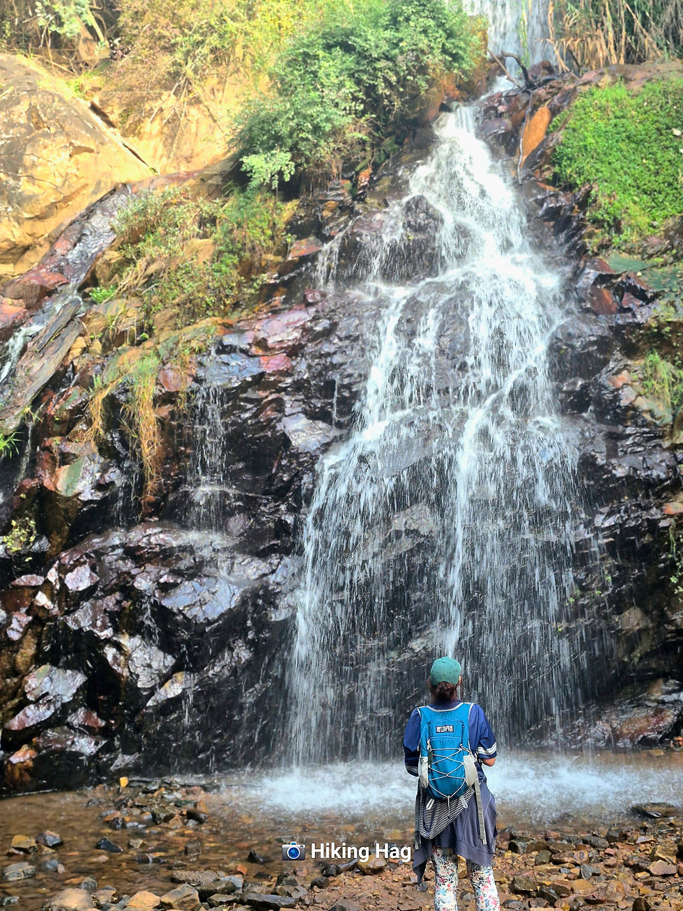
She’d promised horses and cows on the left—and delivered. Complete with distant cowbells. Somewhere out there, the dam even made a brief appearance.

Getting to it, however, was another story entirely. Even Boris, self-appointed trail boss, was clearly plotting a route… and failed spectacularly.
We pushed on until we reached two ruined houses, assumed (again) that we had gone rogue, and turned back.
Only later did we discover that the dam was "just a little further."
Of course it was.
But by then, we’d already clocked 9 km, soaked up plenty of magic, and decided that missing the dam wasn’t going to make or break the day.

RATINGS
Trail Information
AREA
Magaliesburg
COST
R 100. Take cash, unless you’re prepared to EFT before starting your hike. (or before arrival).
Trail Details

TRAIL DIFFICULTY
Not flat. Not Everest.
Manageable inclines—enough to feel accomplished.
TRAIL LENGTH
We were told 5 km.
We clocked 9 km.
Interpret that however you wish.
TRAIL MARKERS
Yes… technically.

Helpful? Mostly no.
TRAIL HIGHLIGHTS
Trails are peaceful, scenic, and perfect for off-lead wanderers like Boris
WEATHER CONDITIONS TO CONSIDER
Mostly open trail, so in summer pack water… and salt. Because fainting dramatically on a koppie is not the aim.
ABLUTIONS
SAFE FREE PARKING

AMENITIES
The place offers self catering chalets and bomas if you want to stay.
WILDLIFE & BIRD LIFE
Are ticks considered wildlife?
Because if so—10/10, abundant.
NOTE TO SELF
Ticks are clearly conspiring against me.
Someone please check if Shein sells flamethrowers.
FAMILY FRIENDLY
Yes

PET FRIENDLY
Boris approved
ON A FINAL NOTE
Despite the bloodsuckers (the literal kind), we had a genuinely magical morning.
Would I recommend it?
Absolutely.
Just take the R24 route—shorter and blessed with a better sand road.
(TO)SOLO OR (NO)SOLO
(NO)SOLO


Comments