The Hoogland Hiking Trail: Sand Roads, Sunburns, and Delusions of Grandeur
- Sep 29, 2024
- 4 min read
Updated: Apr 22

So another group hike magically appeared in one of my 57 Whats App groups - because obviously, one needs to ensure one has a hike lined up for every single free moment one has!!
It was something I had never heard of before - Hoogland Hiking Trail - so I was very excited to try this.
To the extent that when the word 'tough' popped up, I thought, "Pfft, tough?
Please, I’m basically invincible at this point." .
My poor victim for the day was Pepper.
Salt, who has been mentally (and possibly physically) broken by my hiking escapades, wasn’t even on the roster.
I figured I’d let him hibernate in his sloth-like state until he sends me some sort of smoke signal that he’s ready to rejoin the land of the living.
But for today? Pepper was coming along for the adventure.

From the first obligatory cup of petrol station coffee,it is a very different experience.
Salt, bless his laid-back soul, would’ve been all zen, sipping coffee and gazing out the window.
Pepper, on the other hand, was bouncing around like a caffeinated squirrel, impatient to get to our destination.
So we did not get TOTALLY lost. but if I hadn't got even a little lost, it would have been great cause for concern.
I absolutely have to get lost at some point, and being that this was a group hike with a guide....it was not going to be on the hike itself.
After a nerve-racking 5 km on a sand road, we arrived, and I was a frazzled mess.
Luckily, the group was made up of friendly faces, and the hike leader greeted me with a hug, which slightly untangled the stress knots in my shoulders.

Well, it started with an incline that felt like someone had tilted the Earth.
Nearly half my age and twice as fit, these people were basically sprinting up the hill while I had one lung holding an existential crisis with the other.
But, as always, once the incline relented, I was back to being a hiking legend...yes...legend I tell you!!
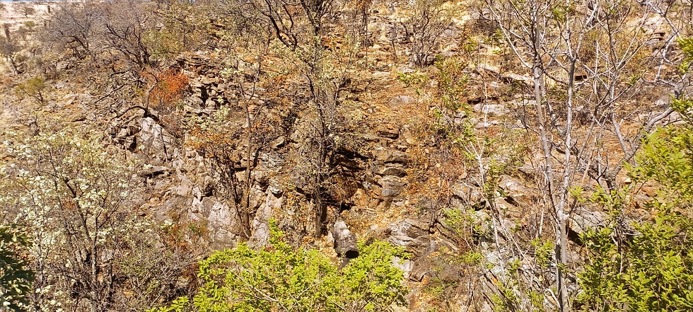
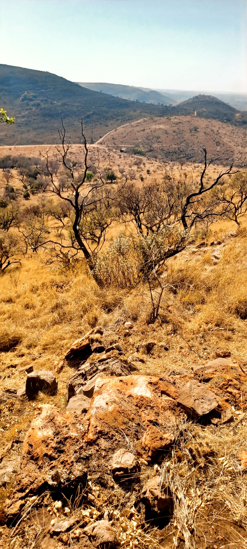
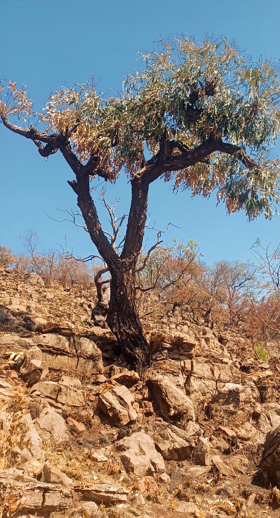
It quickly morphed into an authentic “post-apocalyptic wasteland” vibe.
Very dry and desert-like, which I say in the nicest possible way, as it has its own special kind of charm.
I mean it had not rained for a season, but this I think was not the sole reason for the landscape. And yes, the general landscape was so different that even the scenery seemed to be in a completely different genre - think desert chic meets post-apocalyptic art installation.
Once again, I’m in awe of how every landscape manages to be a snowflake of its own.
Seriously, every trail seems to have its own signature look.
The rocks? Oh, they’re not just rocks I had seen on the previous hike; they’re a new species of rocks.
And the trees? Different, of course. It's like nature’s way of saying, “Hey, I see you’ve hiked before, but lookee here.....”
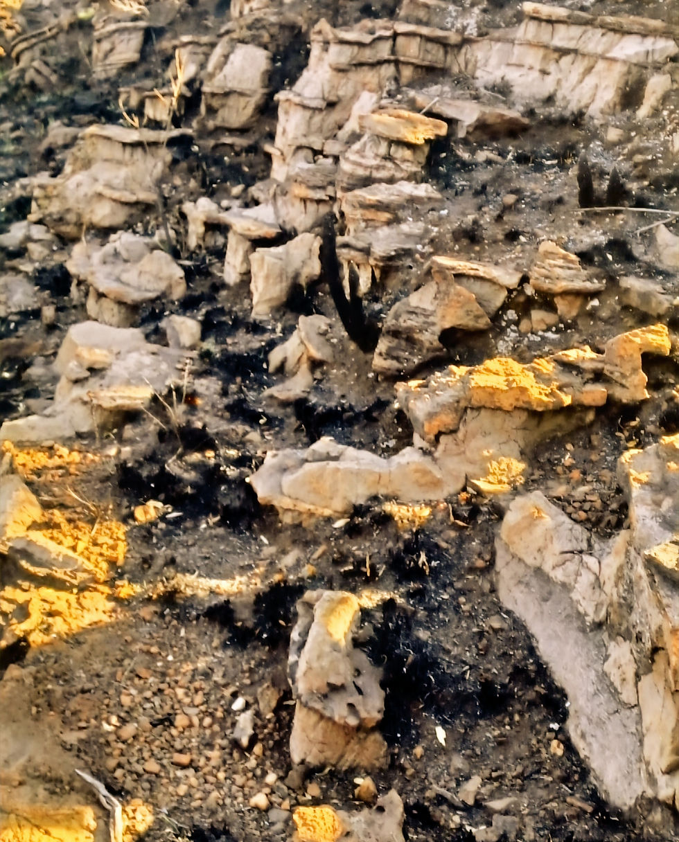
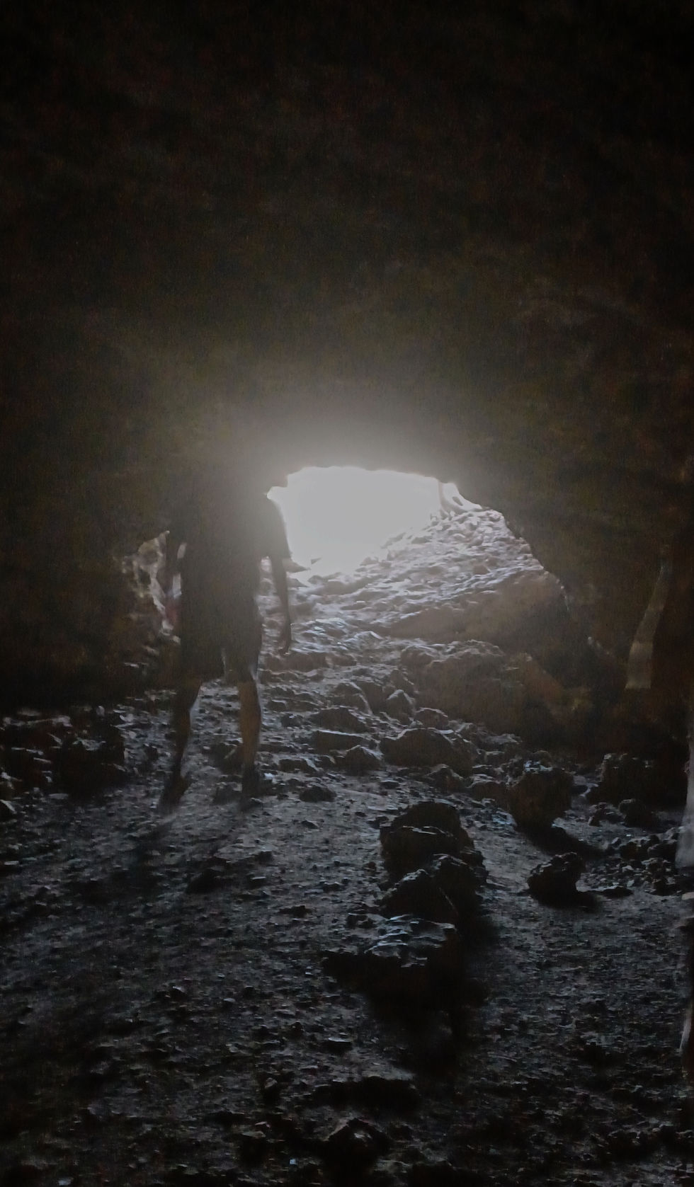
And there is a cave!
A REAL cave, not one of those commercialized ones with mood lighting and ticket booths.
We couldn’t see a thing inside, but that’s what made it awesome. One of the other hikers turned on their phone flashlight, and we ventured about a meter in before realizing we couldn’t tell if we were about to step off a cliff or into a puddle.
So, naturally, we backed out and declared it a “successful exploration.”
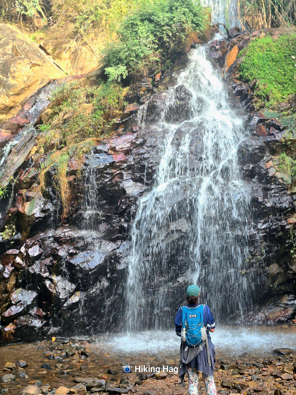
We moved on, and honestly, the landscapes were stunning - if you’re into endless rock formations and scrambling, which, lucky for me, is basically my hiking fetish.
There were more inclines, of course, because what’s a hike without them?
But don't be fooled by my bows and whistles. This was a tough, long and hot hike.
Then came the decision point: keep going for a few more kilometers and summit what looked like Mount Everest’s baby cousin, or head back to the cars.

Pepper and I (and a couple other hikers), in all our infinite wisdom, opted for the shorter route back.
However, this was no leisurely stroll.
The “road” back to the cars felt like it was designed to prepare hikers for the real Everest.
But we made it, and when I saw my car, I swear I heard angels singing.
All in all, it was an absolutely brutal hike - hot, long, and tougher than I’d mentally prepared for.
But sitting here now, blogging about it on my sore, stiff butt?
Totally worth it.
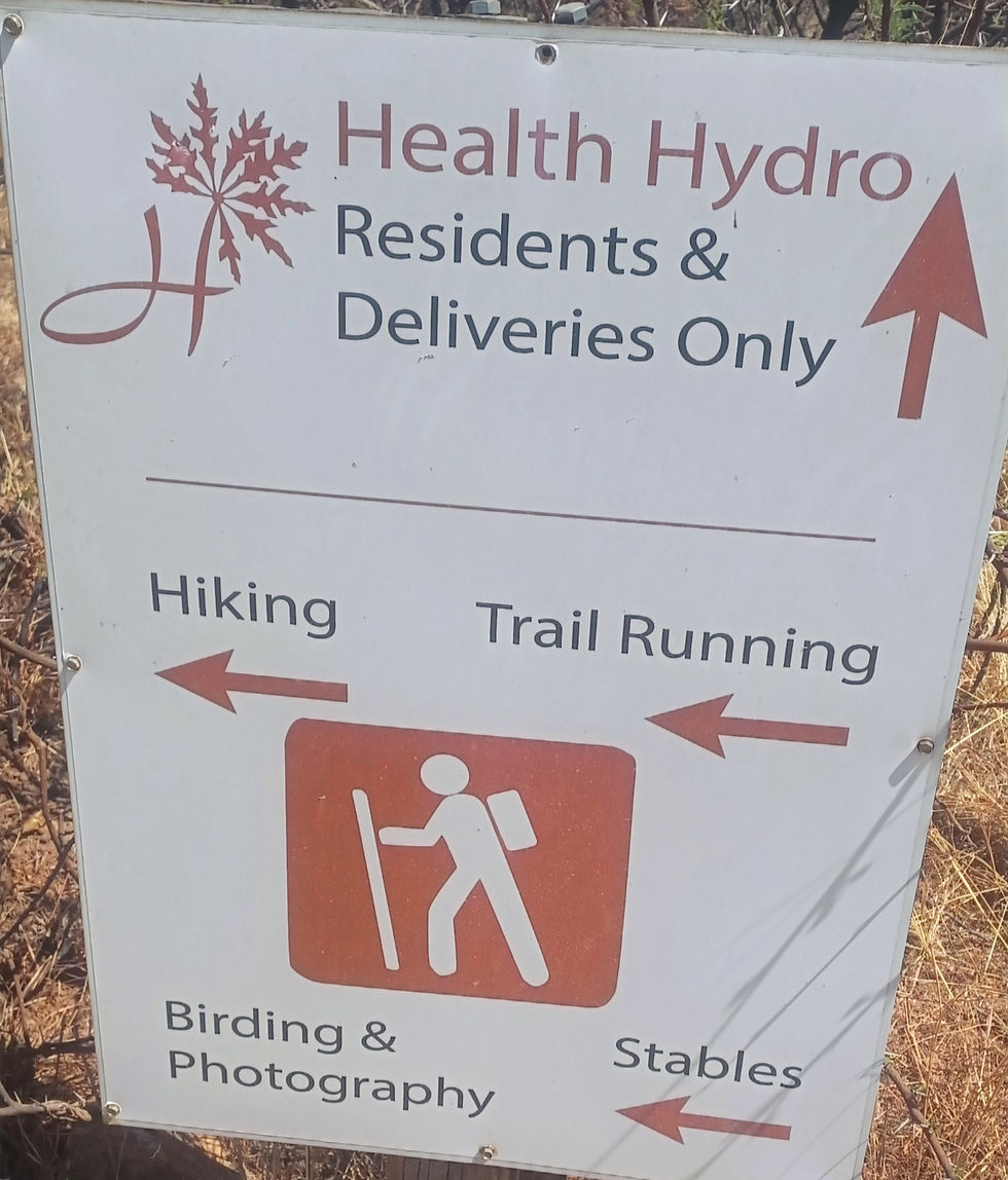
This place requires a permit (which, thankfully, the group handled), and then you just know it’s going to be one of those next level hikes.
AREA - Centurion
But 'the other' Centurion...seemed like a whole other side....but then we know me and my sense of direction!
COST
We paid R 80 pp through the Centurion Hiking Club who had pre-arranged the permit.
If you go direct, it might cost R 100, but who really knows?
Frankly, I wouldn’t trust me to be your tour guide or pricing expert.
I'm here for the hike and the honesty, not the details.....
DIFFICULTY
Hard
LENGTH - 10 to 12 km (with walk to the car)
TIME - approx 4 hrs
ELEVATION - 325 m
MARKERS
We just followed our trusty leader...but did not seem to be marked that well.
HIGHLIGHTS
The rock formations, cave and unique landscape.
ABLUTIONS - Good
Free safe parking
AMENITIES
Also has a health hydro (which would have come in very handy at the end).
NOTE TO SELF
Try not to mentally and physically break Pepper.


Comments